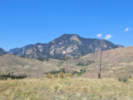
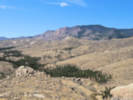
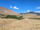
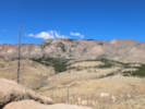
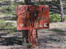
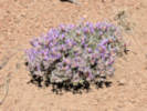
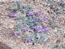
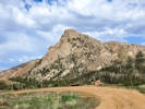
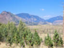
Eastern Mojave Vegetation Forest Road 211, Pike-San Isabel National Forest  
 

Tom Schweich  

Home Page  From Deckers Road south to Tarryall Road, about 25 miles. The first couple miles and last couple miles are the worst.

Other articles:
• County Route 126.:   at FR 211;  

Junction: County Road 126 “Deckers Road”

Other articles:
• Notes on Colorado Flora:  Bouteloua simplex;
• Field Notes:  Coll. No. 3374, 12 Sep 2024;  Coll. No. 3376, 12 Sep 2024;  Coll. No. 3377, 12 Sep 2024;  Coll. No. 3378, 12 Sep 2024;  Coll. No. 3380, 12 Sep 2024;  Coll. No. 3381, 12 Sep 2024;  Coll. No. 3383, 12 Sep 2024;   3 Sep 2025;

Locations: Dispersed Camp Site #2.  

Camp Site 2: COJefPSIDSX1: Location of a dispersed camping site we used a a base to collect from.

Full Size Image
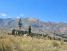
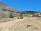
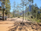
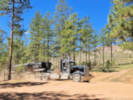
Camp Site 2 along Forest Road 211.
Full Size Image
Coll. No. 3383, Symphyotrichum porteri.
Full Size Image
Coll. No. 3381, Erigeron divergens.
Full Size Image
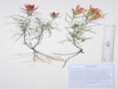
Coll. No. 3378, Castilleja integra.
Full Size Image
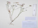
Coll. No. 3374, Hymenothrix dissecta.
Full Size Image
Fruit of Coll. No. 3376, Heterotheca villosa var. minor.
Full Size Image
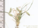
Coll. No. 3380, Bouteloua simplex.

Other articles:
• Field Notes:   3 Sep 2025;  

Camp Site 3.

Full Size Image
Camp Site 3 along Forest Road 211.

Other articles:
• Field Notes:   3 Sep 2025;  

FR 211 Camp Site 5.

Full Size Image
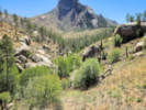
View of Sheeprock from Camp Site 5.
Full Size Image
Tarryall Mountains from Camp Site 5.
Full Size Image
Camp Site 5 along Forest Road 211.

Other articles:
• Field Notes:  21 Jul 2025;   3 Sep 2025;  

Mentzelia speciosa along the road.

Full Size Image
View of location where there was Mentzelia speciosa.

Other articles:
• Field Notes:   3 Sep 2025;  

FR 211 Camp Site 6

Full Size Image
Camp Site 6 along FR 211.

Other articles:
• Field Notes:   18 Jun 2025;  

View of Wigwam Creek drainage.

Full Size Image
Wigwam Creek drainage.

Other articles:
• Field Notes:  12 Sep 2024;  

Where the road turns south …

Full Size Image
Aspens beginning to turn above 10,000 feet.
Full Size Image
Aspens beginning to turn above 10,000 feet.

Other articles:
• Field Notes:   18 Aug 2025;  

Road north of spring, and south of change in direction, from above.

Full Size Image
FR 211 from above, just north of the spring.

Other articles:
• Field Notes:   18 Aug 2025;  

Spring

Full Size Image
Spring on the side of F. R. 211.

Other articles:
• Field Notes:   18 Aug 2025;   3 Sep 2025;   16 Apr 2026;

Locations: Dispersed Camp Site #8.  

Camp Site and Parking

Full Size Image
East slope of Tarryall Mountains from Camp Site 8.
Full Size Image
View to the south from Camp Site 8
Full Size Image
Camp Site 8 along Forest Road 211.
Full Size Image
View to the south from the point of rocks near Dispersed Camp #8.
Full Size Image
Forested drainage of North Twin Creek just left of Center; my truck (circled) in Dispersed Camp #8.
Full Size Image
Twin Creek to the right, an unnamed tributary in left-center, North Twin Creek at the very bottom.

Other articles:
• Field Notes:   18 Jun 2025;

Locations: North Twin Creek. Tarryall Mountains, East Slope.  

Cross North Twin Creek.

There is a well-used horse trail that crosses the road here.

Full Size Image
Orobanche fasciculata along FR 211.
Full Size Image
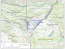
Location Map

Other articles:
• Field Notes:   on Twin Creek;  

Parking at intersection with closed FR 542. Probably the best place to access the upper reaches of Twin Creek.

Full Size Image
Twin Creek, above its confluence with North Twin Creek.

Other articles:
• Field Notes:   3 Sep 2025;   16 Apr 2026;  

FR211 Camp Site 9. North Twin Creek in the middleground.

Full Size Image
Camp Site 9, with North Twin Creek in the middleground.
Full Size Image
The grader works the road near Dispersed Camp #9.

Locations: Twin Creek.  

Cross Twin Creek.


Dispersed Camp Site #10


Former Molly Gulch Campground to the east.

Other articles:
• Field Notes:  Coll. No. 3566, 16 Apr 2026;  

Cut bank above the road.

Full Size Image
Oxytropis multiceps
 

Entrance to Molly Gulch Campground

Other articles:
• Field Notes:   18 Jun 2025;

Locations: Molly Gulch.  

Cross Molly Gulch.

Full Size Image
Molly Gulch looking upstream.
Full Size Image
Molly Gulch looking downstream.

Literature Cited:
- Hawley, Charles C., and R. A. Wobus, 1977.

Other articles:
• Field Notes:  12 Sep 2024;

Locations: Sheeprock.  

View of Sheep Rock.

Full Size Image
North end of Sheeprock from FR 211.
 

Junction: Road to Lost Valley Ranch

Locations: Geographic Center of Colorado #1.  

Divide between Molly Gulch and Goose Creek. About 200 m. east is one of several geographic centers of Colorado. A number of vouchers have been georeferenced to this point, but I do not think they actually occur on the east slope of the Tarryall Mountains.

Other articles:
• Field Notes:  Coll. No. 2470, 24 May 2021;  

Pull-off just north of road cut; location of Coll. No. 2470, Astragalus multiceps

Full Size Image
Coll. No. 2470, Oxytropis multiceps
Full Size Image
Sheeprock from Forest Road 211 near where we found the Oxytropis multiceps


Goose Creek Campground


Other articles:
• Forest Road 558:   at FR 211;  

Junction: FR 558, to Goose Creek Trailhead.

Literature Cited:
- Hawley, Charles C., and R. A. Wobus, 1977.

Other articles:
• Field Notes:  12 Sep 2024;

Locations: Sheeprock. Tarryall Mountains.  

View of Sheeprock. Pull out just south of Wildcat Creek.

Full Size Image
Sheeprock from the south.
Full Size Image
View north along the east slope of the Tarryall Mountains.
 

Jefferson County above …


Park County below …

Other articles:
• Field Notes:  12 Sep 2024;  

View of Pilot Peak

Full Size Image
Pilot Peak from the road.
 

Topaz Mountain Gem Mine


Other articles:
• Tarryall Road:   at FR 211;  

Junction: County Road 77, “Tarryall Road”

If you have a question or a comment you may write to me at: tomas@schweich.com I sometimes post interesting questions in my FAQ, but I never disclose your full name or address.  


[Home Page] [Site Map]

Date and time this article was prepared: 8/1/2026 2:59:50 PM