 Eastern Mojave Vegetation
 Eastern Mojave Vegetation
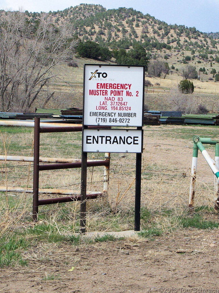
| Emergency Muster Point located to 5 decimal points. |
|
|

If you have a question or a comment about this photograph you may write to me at: tomas@schweich.com I sometimes post interesting questions in my FAQ, but I never disclose your full name or address. |

Photographed 26 April 2016. The location of the coordinates is about 495 ft. from the location of this sign. At the other end of the yard is another sign with the exact same coordinates. It is about 325 feet the other side of the muster point. The fifth digit of precision in the coordinates makes a difference of about 6 feet. But, one thing is certain, it's good to know the coordinates are in NAD 1983 and not WGS 1984.
Article records that use this photograph:
Other photos about Geography - Colorado or Las Animas County.
|
|
Date and time this page was prepared: 5/12/2025 3:02:46 PM |