 Eastern Mojave Vegetation
 Eastern Mojave Vegetation
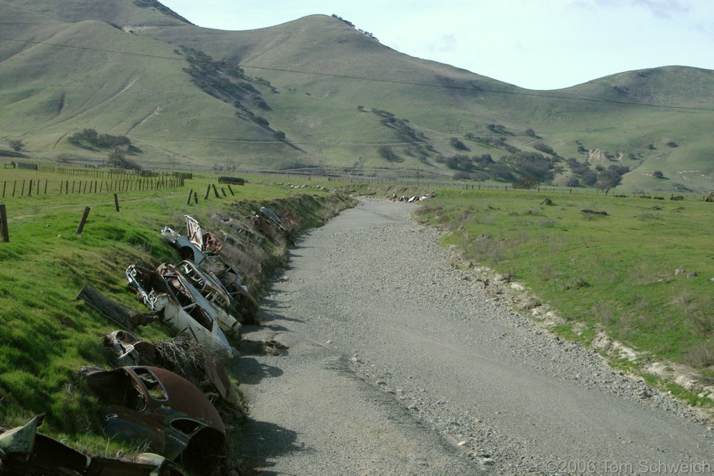
| Old cars protect the bank from erosion along Lewis Creek. |
|
|

If you have a question or a comment about this photograph you may write to me at: tomas@schweich.com I sometimes post interesting questions in my FAQ, but I never disclose your full name or address. |

Photograph taken 4-Feb-06. At Lonoak, Lonoak Road crosses Lewis Creek and passes between Monterey and San Benito Counties. Here old cars have been placed along the creek banks to reduce erosion. I have some photos of Lewis Creek a little further upstream that show a broad alluviated channel with a small stream in the middle, a sign that the stream is quite underfit, i.e., the sediment load far exceeds the carrying capacity of the stream. Lewis Creek drains a fairly large area that includes Priest Valley, following the San Andreas Fault Zone from there to this location in Lonoak. The combination of a large drainage area, steep topography, and ground-up rock in the fault zone, probably yields some high flood waters with large sediment loads on occasion, leading the local residents to try embedding the autos in the creek banks to reduce erosion.
Location records that use this photograph:
Article records that use this photograph:
Other photos about Geography - California or Lewis Creek.
|
|
Date and time this page was prepared: 5/12/2025 3:02:32 PM |