 Eastern Mojave Vegetation
 Eastern Mojave Vegetation
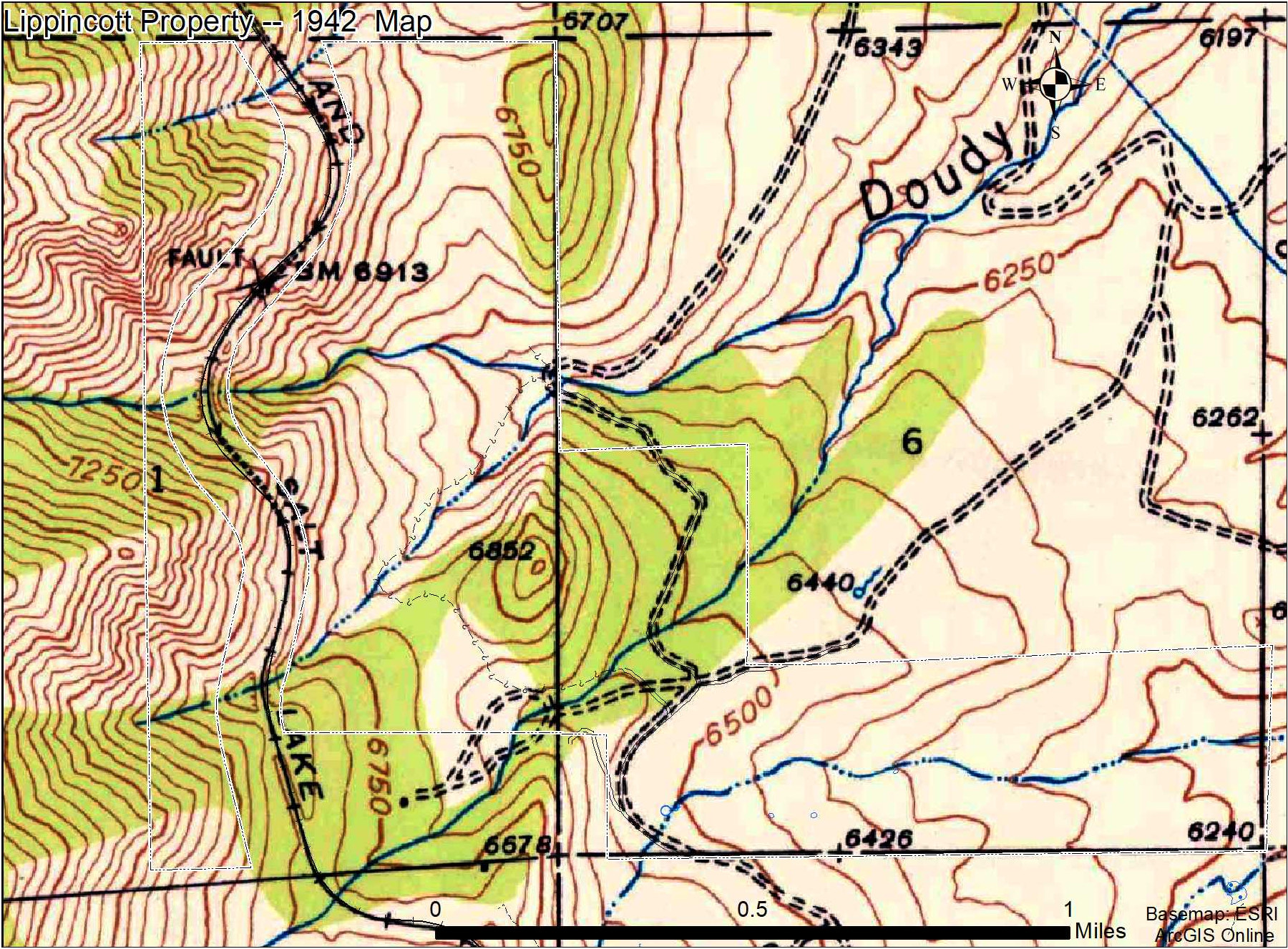
| Lippincott property on 1942 base map. |
|
|

If you have a question or a comment about this photograph you may write to me at: tomas@schweich.com I sometimes post interesting questions in my FAQ, but I never disclose your full name or address. |

The base map is the Eldorado Springs, CO 1:24000 1942 quadrangle. The main road to the north has shifted to the current alignment. The dwelling near the western edge of the Zaharias parcel is still there.
Location records that use this photograph:
Article records that use this photograph:
Other photos about Geography - Jefferson County, CO or Lippincott Property.
|
|
Date and time this page was prepared: 5/12/2025 3:03:17 PM |