 Eastern Mojave Vegetation
 Eastern Mojave Vegetation
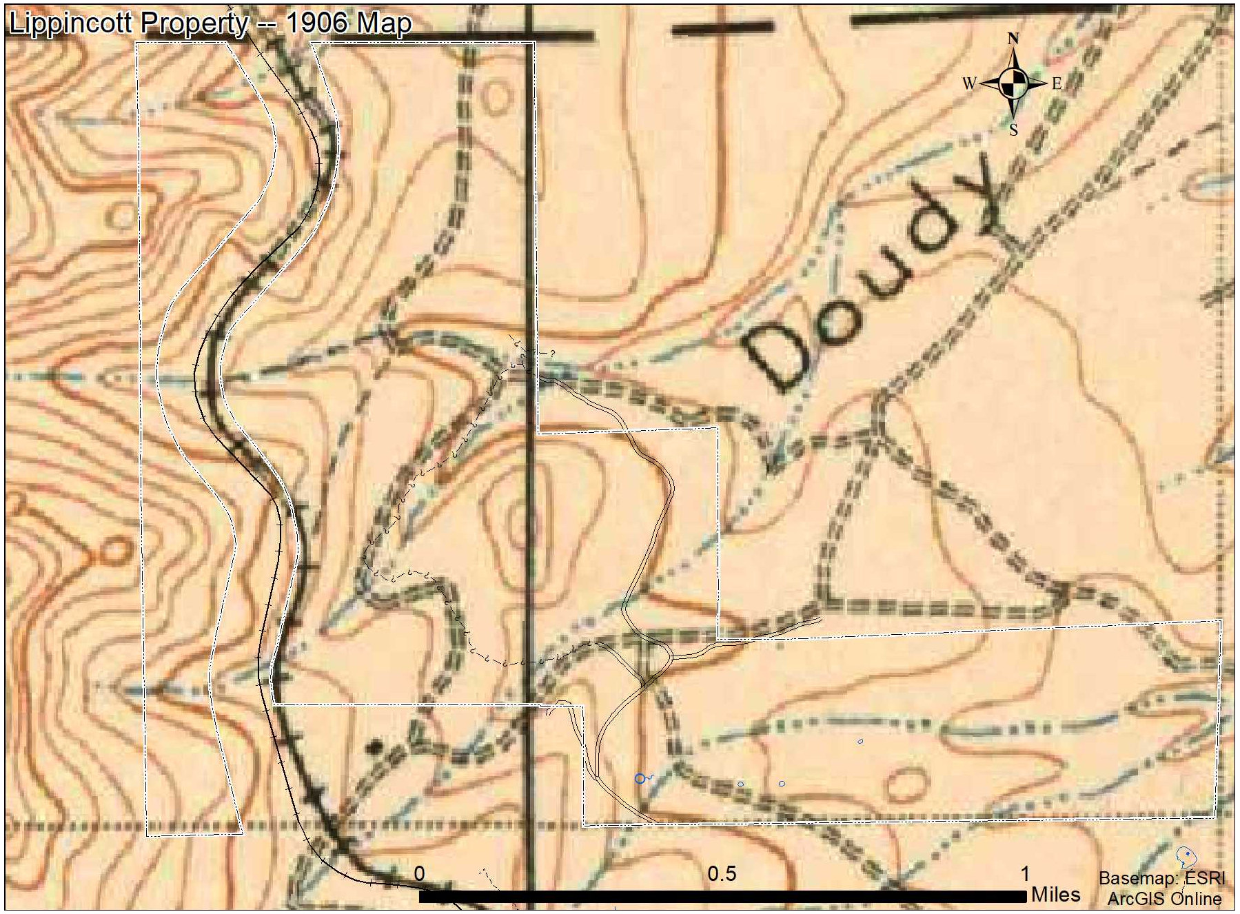
| Lippincott property on 1906 base map. |
|
|

If you have a question or a comment about this photograph you may write to me at: tomas@schweich.com I sometimes post interesting questions in my FAQ, but I never disclose your full name or address. |

The base map is the Blackhawk 1:62,500 1906 quadrangle, 1906 edition. One thing that occurs to me is that the trail I followed around the west side of the hill was, in 1906, a road. Also notice the location of the road up into the northernmost tract. I'll have to look for that road when I try to get up into that area.
Location records that use this photograph:
Article records that use this photograph:
Other photos about Geography - Jefferson County, CO or Lippincott Property.
|
|
Date and time this page was prepared: 5/12/2025 3:03:17 PM |