 Eastern Mojave Vegetation
 Eastern Mojave Vegetation
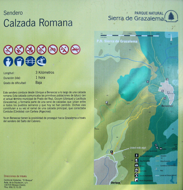
| Sign at Trailhead. |
|
|

If you have a question or a comment about this photograph you may write to me at: tomas@schweich.com I sometimes post interesting questions in my FAQ, but I never disclose your full name or address. |

Photograph taken 8-Apr-07. This path goes from Ubrique to Benaocaz along a Roman road. This road communicated the primitive populations of Iptucci (in the current location of Prado del Rey, about 15 km northwest), Occurri (Ubrique) and Lacibula (Grazalema), and forms part of a group of roads that united all the mountain towns that today have been lost. These roads comprised branches of a main road that connected Corduba (Cordoba) with Carteia (Algeciras). In Benoacaz there is the possibility of continuing further toward Grazalema at the trailhead of Salto del Cabrero (Leap of the Goatherd).
Location records that use this photograph:
Article records that use this photograph:
Other photos about Spain - Andalucia or Calzada Romana.
|
|
Date and time this page was prepared: 5/12/2025 3:04:07 PM |