If you have a question or a comment about this photograph you may write to me at:
tomas@schweich.com
I sometimes post interesting questions in my FAQ, but I never disclose your full name or address.
|

Photographed 20 October 2013.
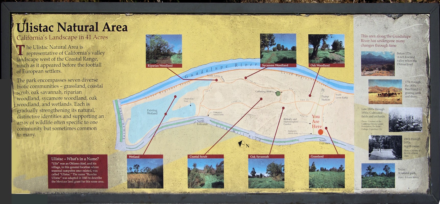
Ulistac Natural Area
California's Landscape in 41 Acres
The Ulistac Natural Area is
representative of California's valley
landscape west of the Coastal Range,
much as it appeared before the footfall
of European settlers.
The park encompasses seven diverse
biotic communities -- grassland, coastal
scrub, oak savannah, riparian
woodland, sycamore woodland, oak
woodland, and wetlands. Each is
gradually strengthening its natural,
distinctive identities and supporting an
array of wildlife often specific to one
commuity but sometimes common to many.
| |
Ulistac -- What's in a Name?
“Ulis” was an Ohlone chief, and his village, in this
general location, where seasonal campsites once existed, was
called “Ulistac.”
The name “Rancho Ulistac” was adapted in 1845 to
describe the Mexican land grant for this same area.
|
This area along the Guadalupe River has undergone many
changes through time.
- Before 1776: A rich lowland valley where the Ohlone lived.
- 1776 through the 1800s: Ranchland for grazing cattle and
sheep.
- Late 1800s through 1950s: Cultivated fields and orchards.
(Photo: Courtesy of the California History Center
Foundation, De Anza College, Cupertino, CA)
- 1960s through 1970s: A golf course. (Photo:
Courtesy of the City of Santa Clara.)
- Today: A natural park. (Photo: © Frank
Balthis.)
|
Location records that use this photograph:
Article records that use this photograph:
Other photos about Geography - Santa Clara County or Ulistac Natural Area.
|
|
[Home Page]
Date and time this page was prepared:
5/12/2025 3:03:51 PM
|
|
 Eastern Mojave Vegetation
 Eastern Mojave Vegetation

