|
Slumgullion Earthflow
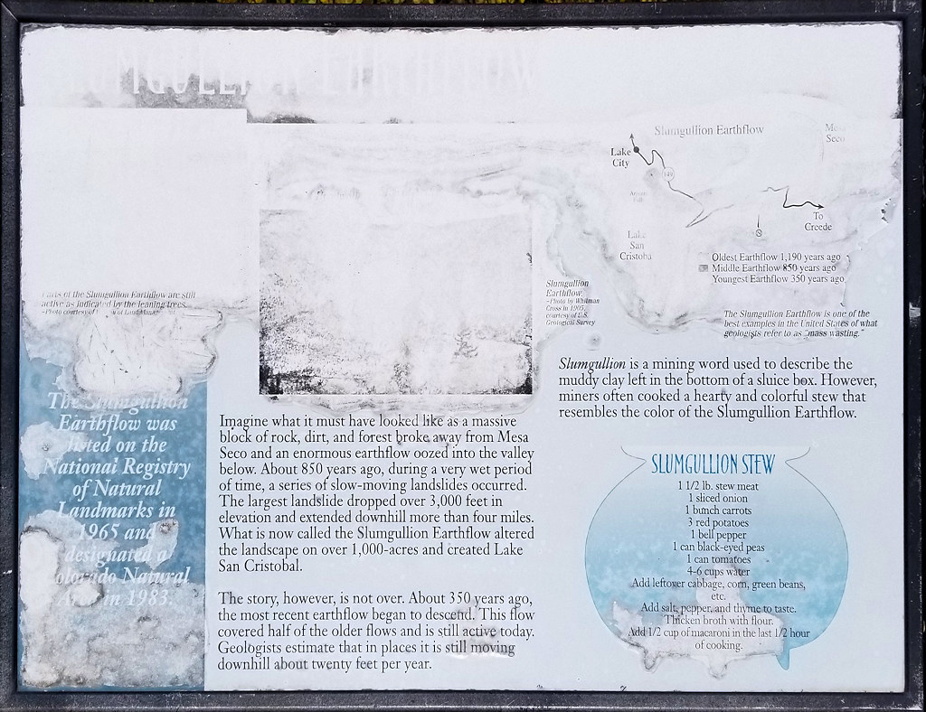
The Slumgullion Earthflow was listed on the Natural Registry of Natural Landmarks in 1965 and designated a Colorado Natural Area in 1983.
Imagine what it must have looked like as a massive block of rock, dirt, and forest broke away from Mesa Seco and an enormous earthflow oozed into the valley below. About 850 years ago, during a very wet period of time, a series of slow-moving landslides occurred. the largest landslide dropped over 3,000 feet in elevation and extended downhill more than four miles. What is now called the Slumgullion Earth flow altered the landscape on over 1,000 acres and created Lake San Cristobal.
The story, however, is not over. About 350 years ago, the most recent earthflow began to descend. This flow covered half of the older flows and is still active today. Geologists estimate that in places it is still moving downhill about twenty feet per year.
Slumgullion is a mining word used to describe the muddy clay left in the bottom of a sluice box. However, miners often cooked a hearty and colorful stew that resembles the color of the Slumgullion Earthflow.
Slumgullion Stew
1½ lb. stew meat
1 sliced onion
1 bunch carrots
3 red potatoes
1 bell pepper
1 can black-eyed peas
4-6 cups water
Add leftover cabbage, corn, green beans, etc.
Add salt, pepper, and thyme to taste.
Thicken broth with flour.
Add ½ cup of macaroni in the last ½ hour of cooking.
|  Eastern Mojave Vegetation
 Eastern Mojave Vegetation

