Eastern Mojave Vegetation
Tom Schweich
|
Eastern Mojave Vegetation
| Coyote Road |
|
Tom Schweich |

|
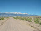
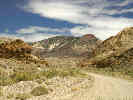
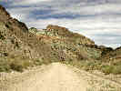
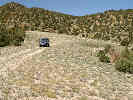
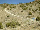
The names Coyote Road goes west from Silver Peak to Coyote Summit in the Silver Peak Range. The road west, down the canyon to The Crossing, and thence to Nevada Highway 264 has no name. For simplicity, I have named this entire route Coyote Road. | ||||||||
|
Other articles:
|
Junction: Nevada Highway 264 | ||||||||
|
Other articles:
Locations:
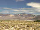
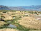
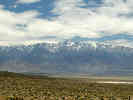
Fish Lake Valley.
|
|||||||||
| Junction | |||||||||
|
Literature Cited:
Other articles:
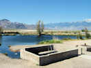
Locations: Fish Lake Hot Well. |
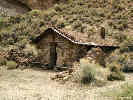
Fish Lake Hot Well
| ||||||||
|
Other articles:
|
|||||||||
|
Other articles:
|
Junction: Road North Through The Gap | ||||||||
|
Other articles:
|
|||||||||
|
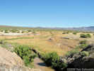
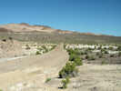
Locations: The Crossing. |
The Crossing | ||||||||
|
Other articles:
|
|||||||||
|
Other articles:
|
|||||||||
|
Other articles:
Locations:
Fish Lake Valley.
|
|||||||||
|
Literature Cited:
Other articles:
Locations: Rhyolite Ridge. |
| ||||||||
|
|
Argentite Canyon | ||||||||
|
Other articles:
Locations:
Cave Spring.
|
Cave Spring | ||||||||
|
Other articles:
|
|||||||||
|
Other articles:
|
Small spring, north side of road, south base of Rhyolite Ridge. | ||||||||
|
Literature Cited:
Locations:
Rhyolite Ridge.
Silver Peak Range.
|
|||||||||
|
Other articles:
Locations:
Coyote Summit.
|
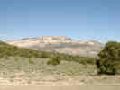
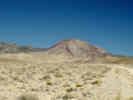
Coyote Summit
| ||||||||
|
Literature Cited:
Locations: Mineral Ridge. |
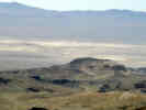
Petronis, Geissman, Oldow, and MacIntosh (2002) studied the structural evolution of the Silver Peak extensional complex. They focused on the northeastern portion of the Silver Peak Range, north of Coyote Road at such localities as Mineral Ridge and Rhyolite Ridge. Using paleomagnetic data from 123 sites, they showed about 25° of clockwise rotation since the middle Miocene. This, coupled with northwest extension and detachment faulting of Mineral Ridge, supports the theory that the Silver Peak complex transfers displacement from the Furnace Creek Death Valley Fault Zone to the Walker Lane Fault Zone. | ||||||||
|
Other articles:
|
|||||||||
|
|
Coyote Spring | ||||||||
|
Other articles:
Locations:
Red Mountain.
|
|||||||||
|
Other articles:
Locations: Silver Peak. |
Silver PeakJunction:
Silver Peak is one of the oldest mining areas in Nevada. A 10-stamp mill was built in 1865, and by 1867 a 20-stamp mill was built. Mining camp lawlessness prevailed during the late sixties, and over the next 38 years, Silver Peak had its ups and downs. In 1906, the Pittsburg Silver Peak Gold Mining Company bought a group of properties, constructed the Silver Peak Railroad and built a 100- stamp mill at Blair the following year. The town, at times, was one of the leading camps of Nevada, but by 1917 it had all but disappeared. The town burned in 1948, and little happened until the Foote Mineral Company began its extraction of lithium from under the floor of Clayton Valley. Nevada Historical Marker 155. | ||||||||
| If you have a question or a comment you may write to me at: tas4@schweich.com I sometimes post interesting questions in my FAQ, but I never disclose your full name or address. |
Date and time this article was prepared: 4/14/2024 5:39:12 PM |